Highlights

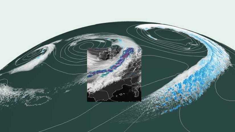 Climate models are a success story, but this field require even more research and new models with km-scale simulations for the whole Earth ETH Zurich | 21.08.2019 Image credit: ETH Zurich |

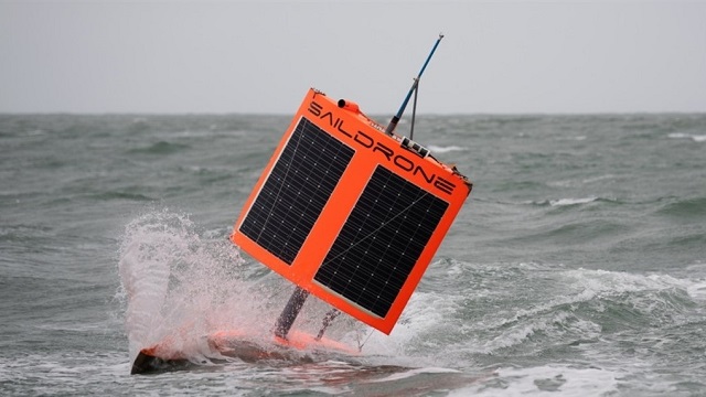 Saildrone 1020 is first to circumnavigate Antarctica (13,670 miles), in search for carbon dioxide NOAA | 05.08.2019 Image credit: Saildrone Inc. |
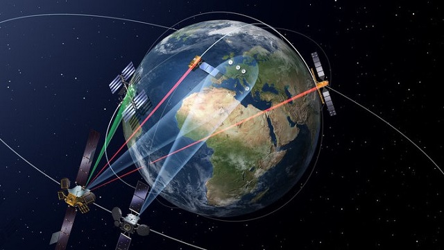 European Data Relay System (EDRS) enables Earth-observation satellites to deliver their information to users on the ground in near real-time ESA | 01.08.2019 Image credit: ESA |
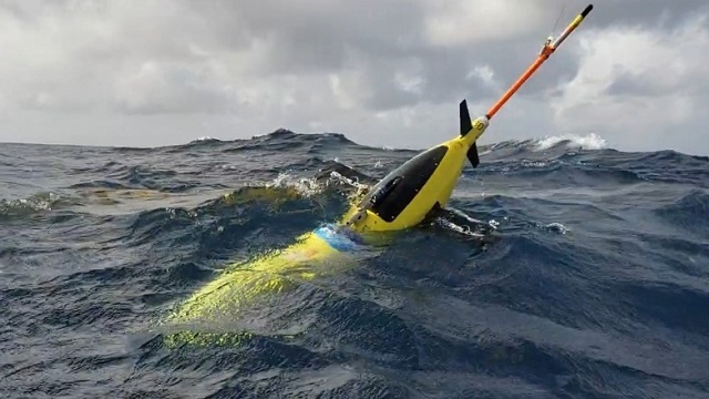 Unmanned gliders (Autonomous Underwater Vehicles) probe ocean depths in mission to fine-tune hurricane forecasts NOAA | 16.07.2019 Image credit: NOAA |

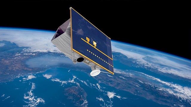 Presentate le prime immagini di PRISMA, sistema di osservazione della Terra dotato di un innovativo sensore elettro-ottico iperspettrale ASI | 18.06.2019 Image credit: Agenzia Spaziale Italiana |
 The ESA’s WSF-2015 is the first map to provide a global overview of the world’s human settlement CNR | 12.06.2019 Image credit: DLR, GEE |
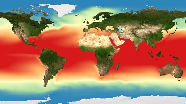 Detecting patterns of climate change in long-term forecasts of marine environmental parameters CNR | 12.11.2018 Image credit: D4Science/ISTI-CNR |

 A metal-organic framework based system cleans and splits water EPFL | 05.11.2018 Image credit: Alina-Stavroula Kampouri/EPFL |
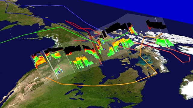 A fast, cheap, effective Earth-system modeling method MIT | 24.10.2018 Image credit: Kurt Severance/NASA Langley Research Cente |
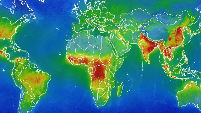 Air quality: Copernicus Sentinel-5P maps air pollutants around the entire globe every day ESA | 24.10.2018 Image credit: BIRA-IASB/DLR/ESA |

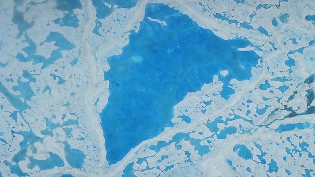 Global climate: arctic ice sets speed limit for major ocean current MIT | 17.10.2018 Image credit: NASA/Operation IceBridge |
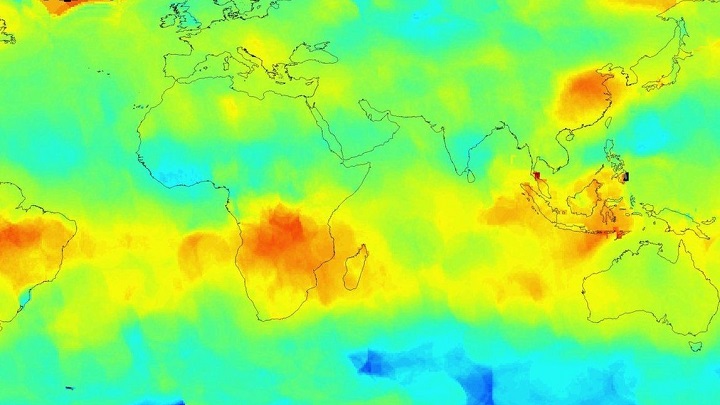 Europe eyes fleet of tiny CO2-monitoring satellites to track global emissions Nature | O5.10.2018 Image credit: NASA/JPL-Caltech |
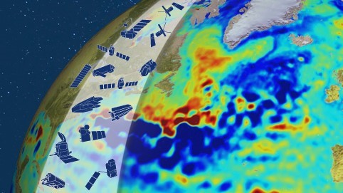 Radar altimetry: how satellite has revealed changes in the height of the ocean ESA | 25.09.2018 Image credit: ESA – European Space Agency |


